Here comes La Nina, El Nino's flip side, but it will be weak
La Nina, the cool flip side to El Nino, has returned, forecasters said Thursday.
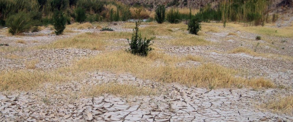
The National Oceanic and Atmospheric Administration said a weak La Nina has formed and is expected to stick around for several months. La Nina is a natural cooling of parts of the Pacific that alters weather patterns around the globe.
La Nina typically brings drier conditions to the U.S. South and wetter weather to the Pacific Northwest and western Canada. Indonesia, the Philippines, northeastern South America and South Africa often see more rain during December, January and February in La Nina years.
Last year's La Nina was unusually brief, forming in November and gone by February. This one should hang around through at least March. While it may last a bit longer than last year's La Nina, it should be just as weak, said Mike Halpert, deputy director of NOAA's Climate Prediction Center.
Texas A&M University agricultural economist Bruce McCarl said La Nina years are often bad for Texas and the surrounding region.
U.S. production of most crops — except corn — generally goes down in La Nina years, according to research by McCarl.
The last major La Nina several years ago caused major crop damage and Texas suffered a devastating drought, McCall said.
On average, La Nina years hurt U.S. and China gross domestic product about 0.3 percentage points, but lead to growth in India, New Zealand and South Africa, according to Kamiar Mohaddes, a University of Cambridge economist.
Because La Nina shifts storm tracks, it often brings more snow in the Ohio and Tennessee Valleys.
"Typically La Nina is not a big snow year in the mid-Atlantic," Halpert said. "You have a better chance up in New England."
———
Follow Seth Borenstein on Twitter at @borenbears. His work can be found here.
- Star
Add Interests Customize your news feed by choosing the topics that interest you.
To save your interests across all devices Log In or Sign Up »Source – abcnews.go.com


