NASA captures 20 years of seasonal changes of home planet
NASA has captured 20 years of seasonal changes in a striking new global map of the home planet.
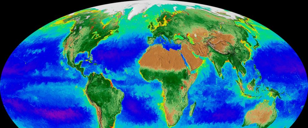
The data visualization, released this week, shows Earth's fluctuations as seen from space.
The polar ice caps and snow cover are shown ebbing and flowing with the seasons. The varying ocean shades of blue, green, red and purple depict the abundance — or lack — of undersea life.
NASA oceanographer Jeremy Werdell, who took part in the project, says it's like watching Earth breathe. He says the visualization shows spring coming earlier and autumn lasting longer in the Northern Hemisphere. Also noticeable to him is the Arctic receding over time — and, though less obvious, the Antarctic, too.
Researchers compiled the visualization from satellite imagery.
- Star
Add Interests Customize your news feed by choosing the topics that interest you.
To save your interests across all devices Log In or Sign Up »Source – abcnews.go.com