
Blizzard threatening Central Plains and Upper Midwest
WATCH Midwest hit by whiteout conditions, blizzard warnings
A major storm is expected to move toward the Central Plains and Upper Midwest today, bringing heavy snow and icy conditions to parts of those regions.
Blizzard warnings have been posted from eastern Colorado to southern Minnesota, while storm warnings and weather advisories were in effect from eastern Colorado to northern Michigan, according to the National Weather Service (NWS).
Denver finally got a little bit of snow – yea! pic.twitter.com/vmC4BguKOU
— Orlando Renteria (@RenteriaOrlando) January 21, 2018
Weather advisories were also issued for parts of northern New England and the area could see a bit of snow and ice from the storm system by this evening, the NWS said.
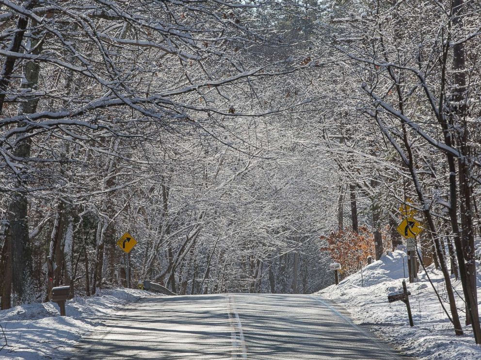 CJ Gunther/EPA
Upper Midwest and central Plains bracing for heavy snow, Northeast thaws out Major winter storm takes aim at Rockies and Midwest, above average temps headed for Eastern U.S. Federal report says 2017 shattered US damage record for natural disasters
The storm is forecast to move north and east today, bringing a swath of heavy snow to the upper Midwest and dumping snow near Sioux Falls, Sioux City, and the southern Minneapolis suburbs. Wind gusts could range between 30 and 50 mph in some spots during the day, resulting in near-blizzard conditions and dangerously low visibility.
At least 50 flights have been canceled due to weather at Chicago's O'Hare International Airport so far, the airport said this morning.
The "widespread snow and rain will continue to spread across the central and northern states as a winter storm lifts northeast through the Midwest today and through the Northeast by Wednesday," the NWS said today. "The snow will be heavy at times over portions of the Central Plains and Upper Mississippi Valley throughout the day before tapering off over the Central Plains tonight.
 Kevin Goldy/The Daily Independent via AP
"Snow will develop over the Upper Great Lakes and northern New England this afternoon and will expand south and east to the lower lakes and Northeast continuing into Tuesday and Wednesday," it added.
Heavy snow is also expected in parts of Iowa, southern Minnesota, and northern Wisconsin into this evening's rush hour, meteorologists said.
The storm has already blanketed areas near Denver, with several inches of snow Sunday, causing treacherous travel and road conditions.
 David Zalubowski/AP
Many roadways in eastern Colorado, including large parts of Interstate 70, were closed because of icy road conditions, meteorologists said.
About 200 flights have been canceled at Denver International Airport, representing about 15 percent of its daily operations, because of heavy snow.
Short time lapse of today’s snow. #airport #airportops #denver #snow #cowx #airportlife
A post shared by Timothy Hucksoll (@osutrooper) on Jan 21, 2018 at 10:26am PST
I love this point of view! Spraying is more fun than it looks. ????
A post shared by Paul Thompson (@flyingphotog) on Jan 21, 2018 at 8:23am PST
The Denver airport received about 6 inches of snow, while some of the hillsides saw totals closer to about 10 inches.
The storm moved eastward and into Nebraska, Kansas, Iowa, South Dakota and Minnesota Sunday evening, hitting cities like St. Francis, Kansas, with as much as 7.5 inches of snow, while Imperial, Nebraska, got about 6.5 inches and Edgemont, South Dakota, saw as much as 11 inches.
Right now, the heaviest of the snow is over much of Nebraska and extends toward extreme southern Minnesota. Snowfall rates in the region will approach 1 inch per hour this morning, with possible sustained winds of around 30 mph.
Some snow and wintry mix are also expected for extreme northern New England today and this evening. Accumulations will be minimal but could affect area roadways.
- Star
Add Interests Customize your news feed by choosing the topics that interest you.
To save your interests across all devices Log In or Sign Up »Source – abcnews.go.com